Greetings history lovers and Arthurian enthusiasts!
Today we’re excited to announce the official launch of the next book in Eagles and Dragons Publishing’s exciting non-fiction series of books, Historia, your gateway to ancient and medieval history and archaeology.
If you haven’t seen any of the previous three Historia releases, you can check out the titles at the Non-Fiction tab of the website HERE.
Today, we’re thrilled to introduce you to the fourth volume in the Historia series…
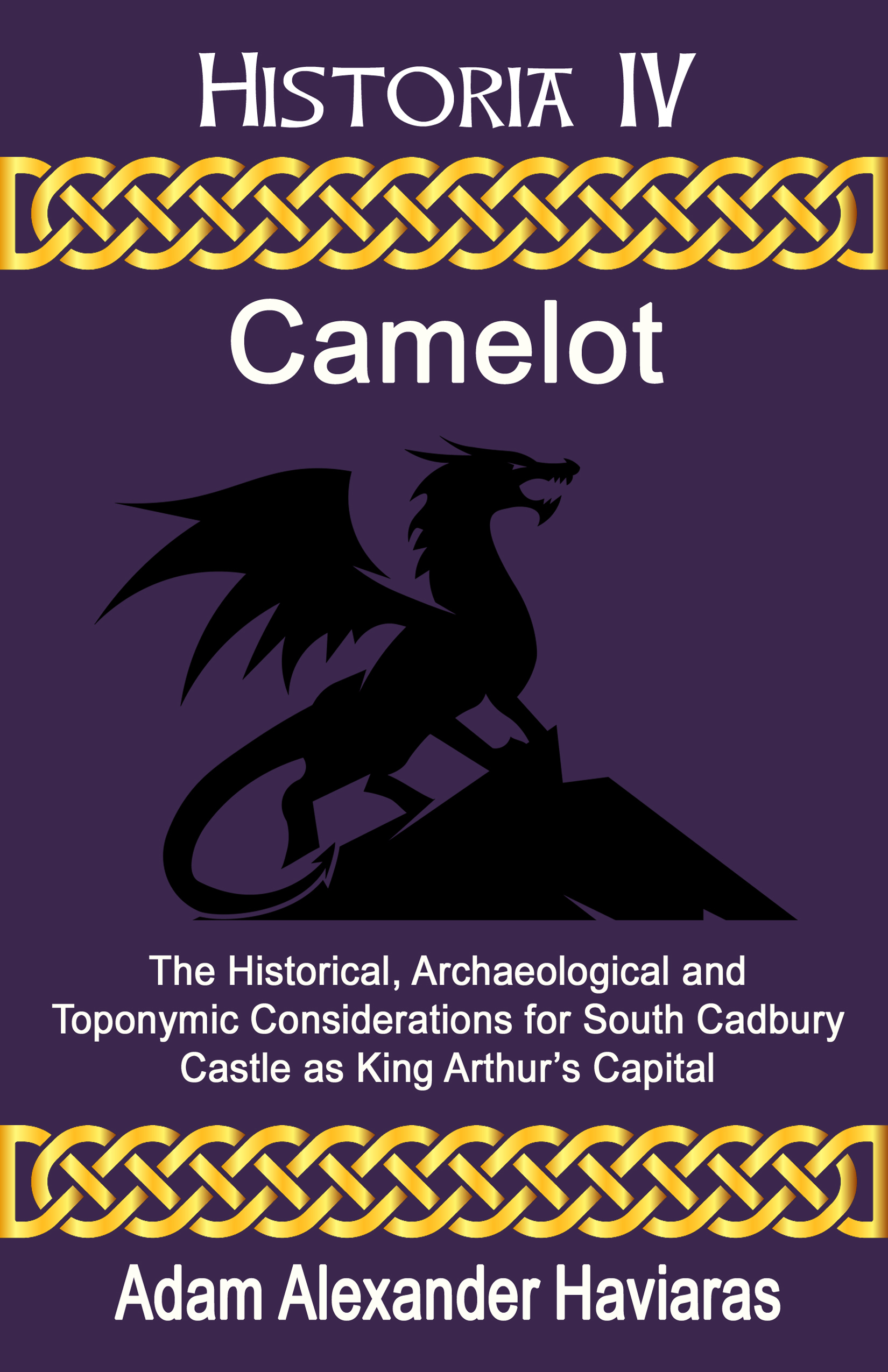
Camelot: The Historical, Archaeological and Toponymic Considerations for South Cadbury Castle as King Arthur’s Capital
This book explores one of the most important sites in British history, archaeology and literature, a place that can, more than any other, lay claim to the name of Camelot.
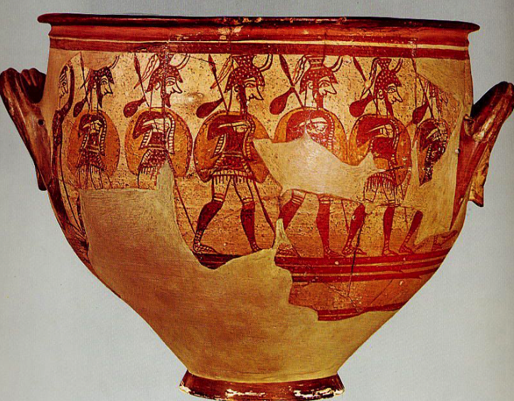
The search for King Arthur and his famous capital of Camelot is a topic that has been hotly debated for over a hundred years, with many theories being put forward. It is a subject that has always been shrouded in the mist of fairy tales and legends, making the truth difficult to discover. However, there is one candidate for Camelot that shines out and brings the Arthurian legend to life: the hillfort of South Cadbury Castle.
In this book, the reader will learn not only about the evidence for a historical King Arthur, but also discover the most recent historical, archaeological, and toponymic evidence that make South Cadbury Castle the strongest contender for the title of Camelot.
Author and historian, Adam Alexander Haviaras, helps the reader to explore the possibility that King Arthur’s Camelot was not just a medieval invention, but that it was an actual place that played an important role in history and the British Heroic Age. The true Camelot of Arthur may not be what you expect, but the evidence that exists paints a clear picture of something even more exciting.
If you have an interest in ancient and medieval British history, archaeology, and Arthurian studies, or if you are on your own search for a shred of truth about King Arthur, then you will enjoy this in-depth study of one of the most important archaeological discoveries in the quest for Camelot.
After reading this book, you too may start to believe that Arthur and Camelot are not just medieval fabrications, but that they actually did exist.
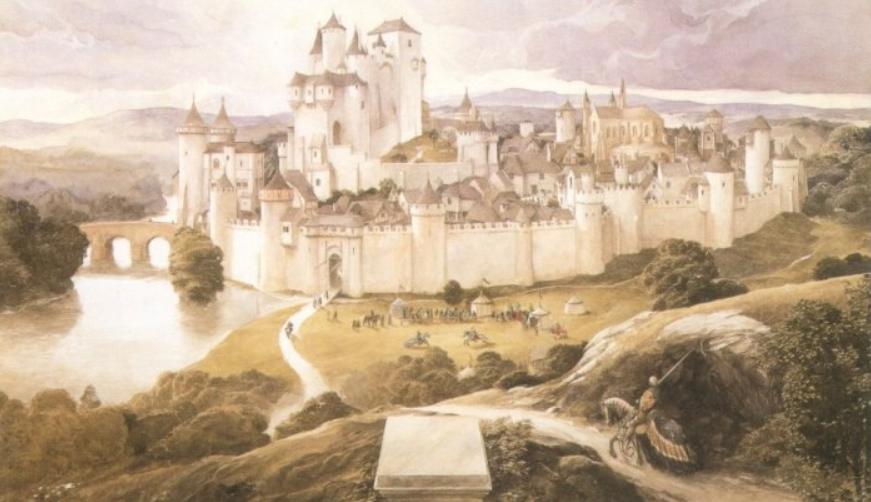
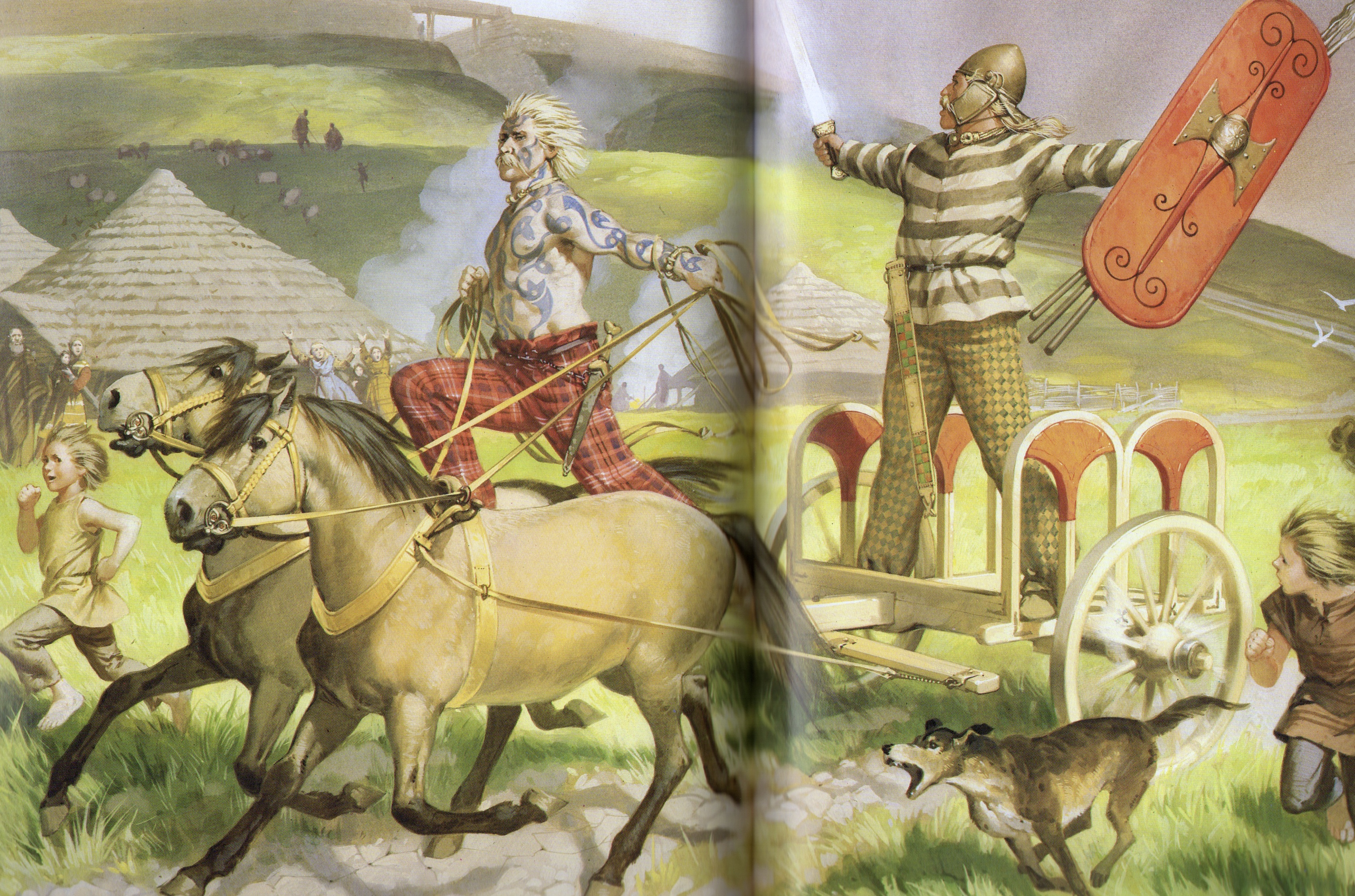
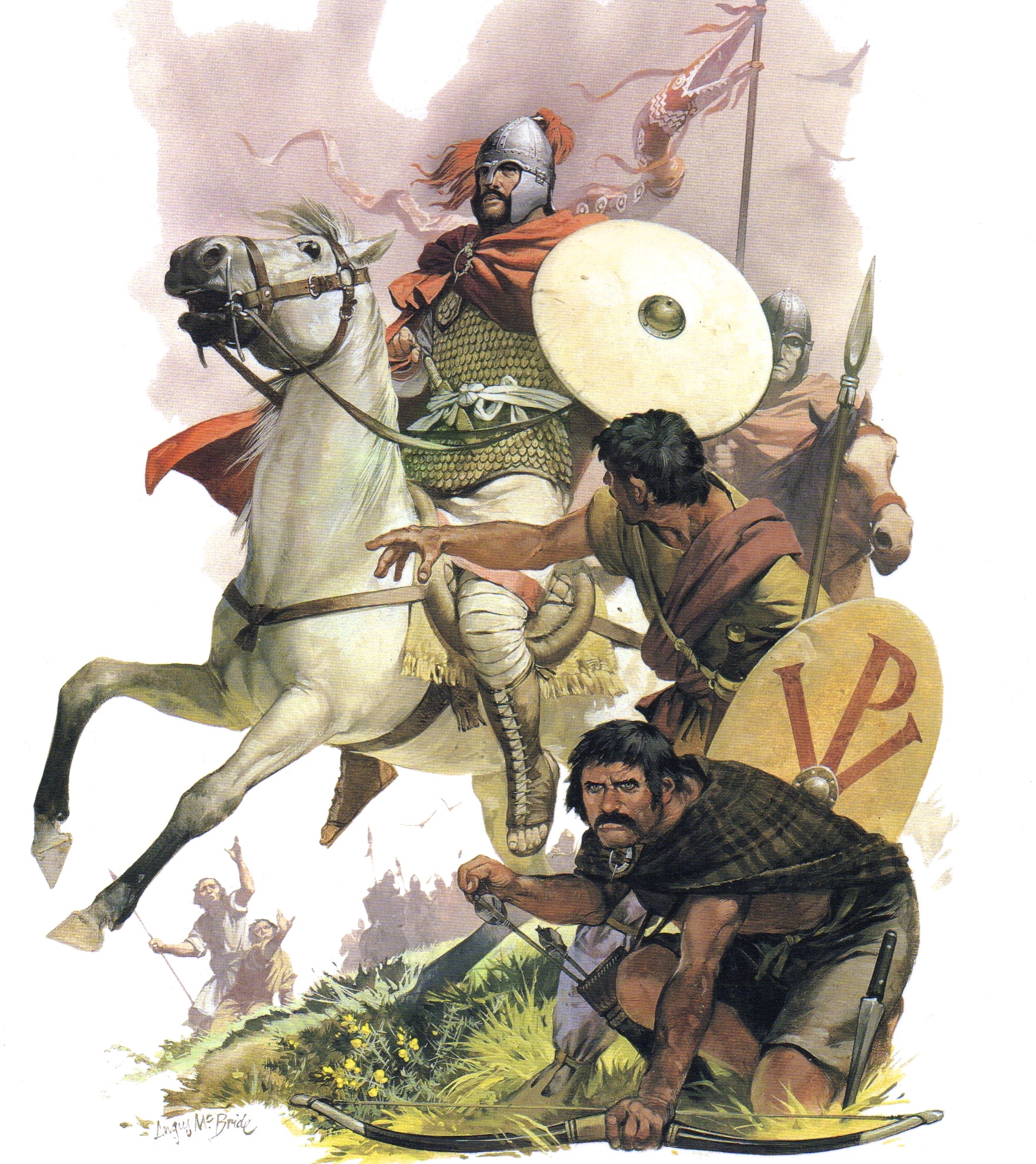
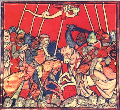
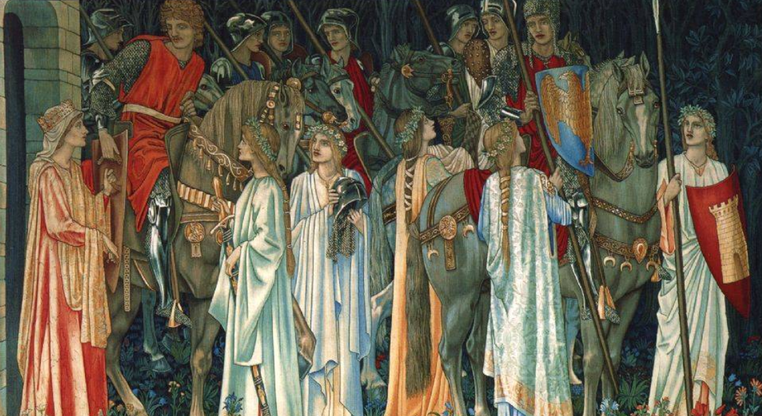
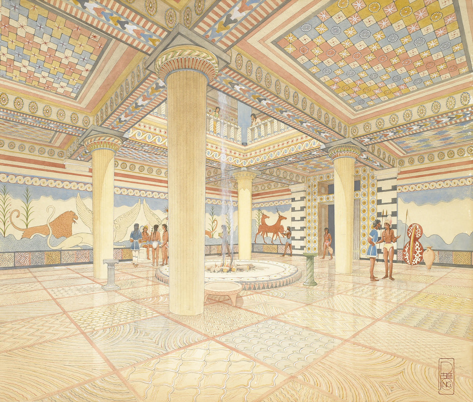
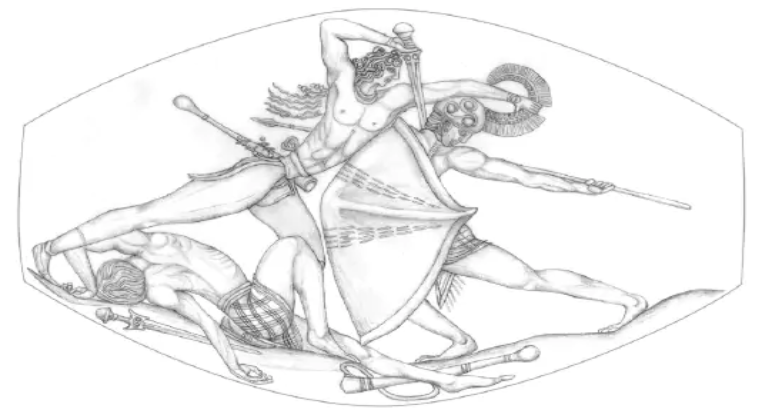
Camelot (illustrated by Alan Lee)
As many of you already know, Arthurian studies has always been the focus of my academic career as well as at the forefront of my own, personal interests.
I firmly believe that there was a historical ‘King Arthur’ in the period after the departure of Rome from Britannia, and the Saxon invasions of the island.
But, as with many historical figures who have been turned into heroes cloaked in ages of myth and legend, it’s not easy to gain a clear picture. It is also not easy to find the true places that were linked to these heroes when they walked upon the earth.
Myth and legend keep the memory of people and places alive over the ages, but they can also confuse things and hide the truth.
There is a lot of myth and legend surrounding the capital or fortress of the historical Arthur, the place that we have come to know as ‘Camelot’. There are many candidates for the title, and the location is hotly, passionately debated among Arthurian enthusiasts.
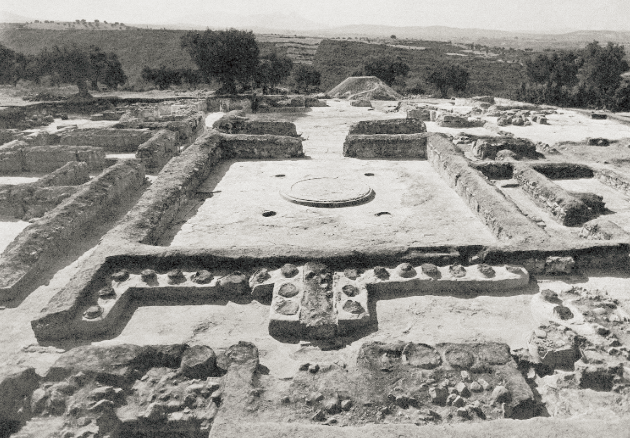
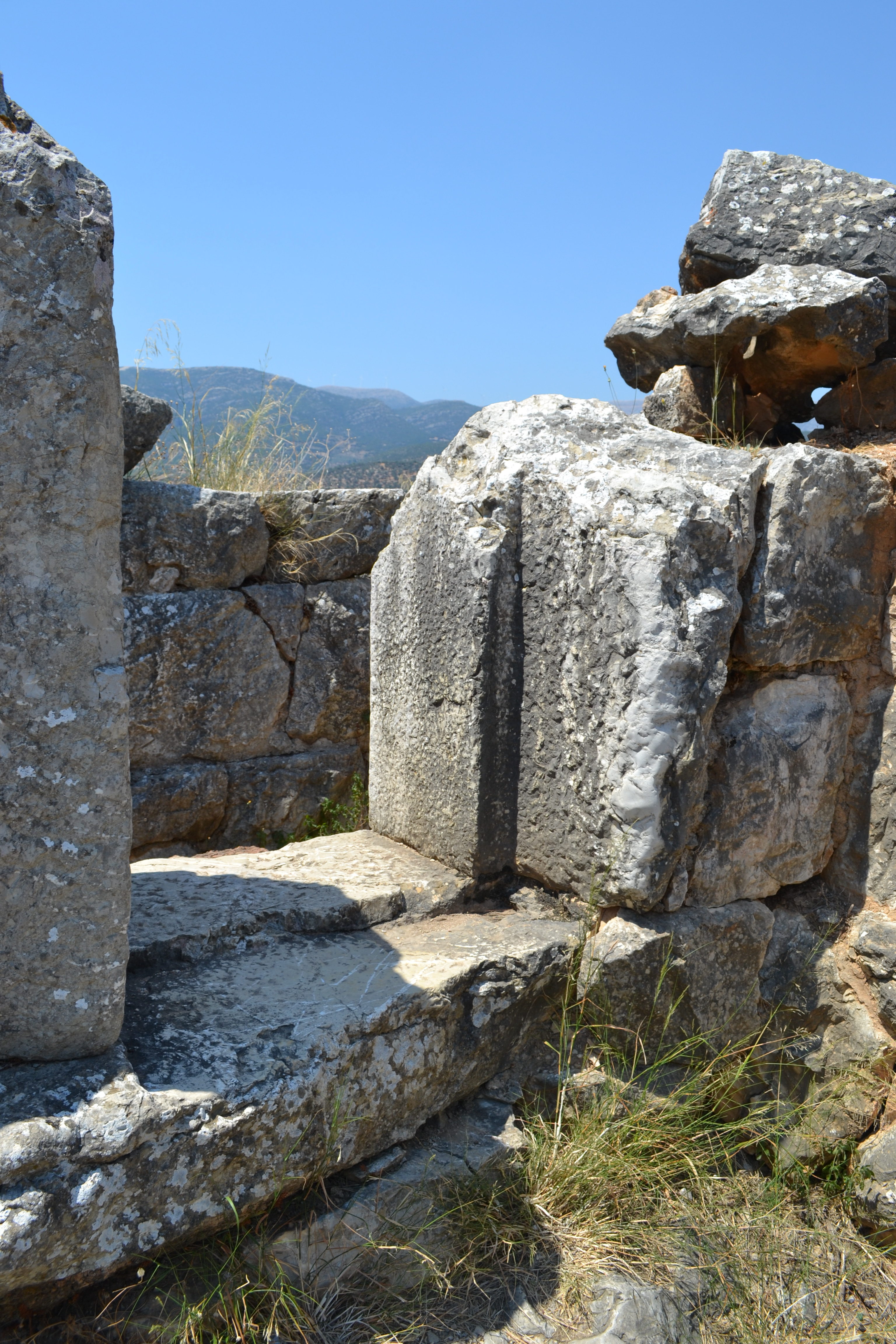
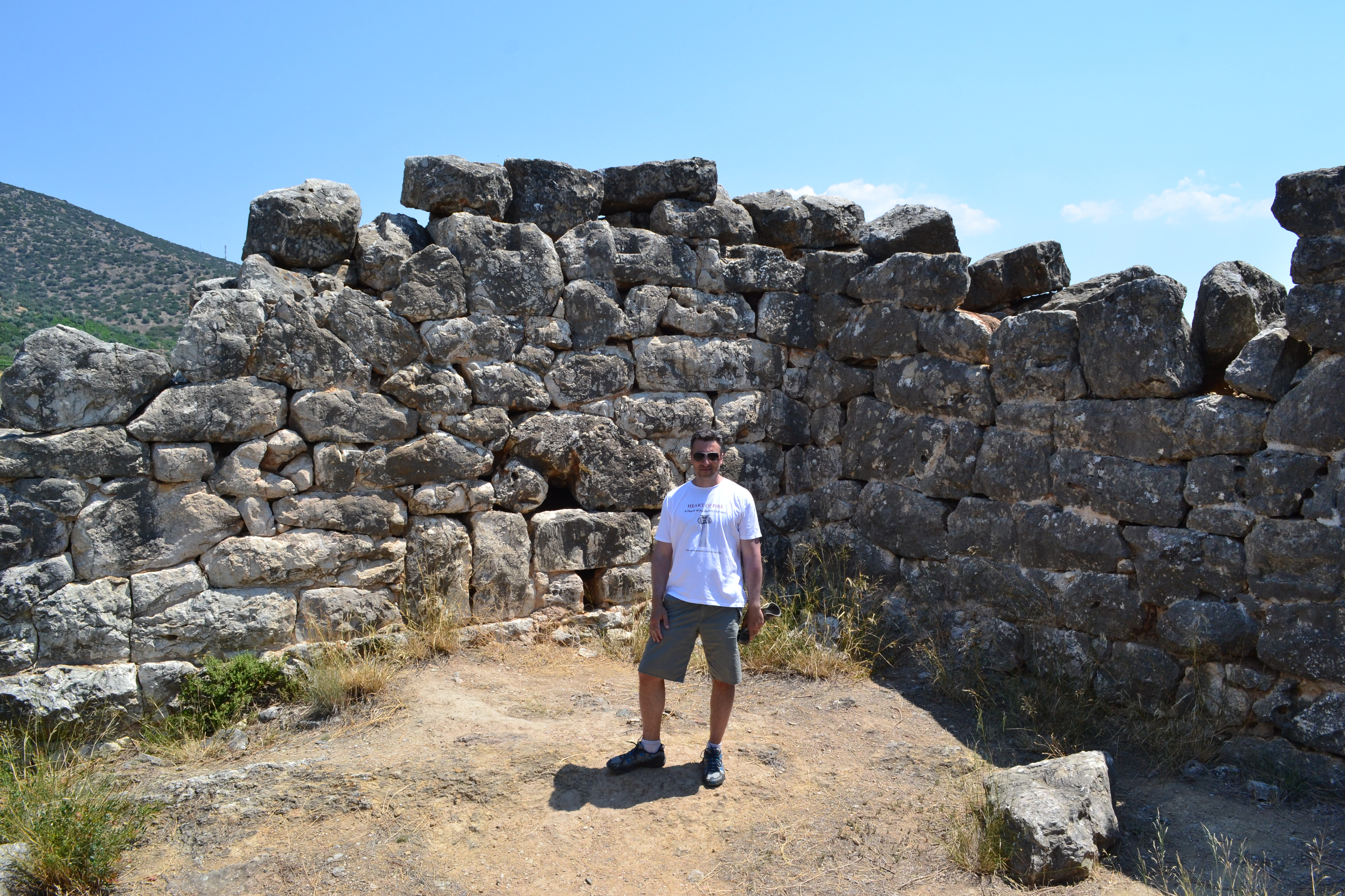
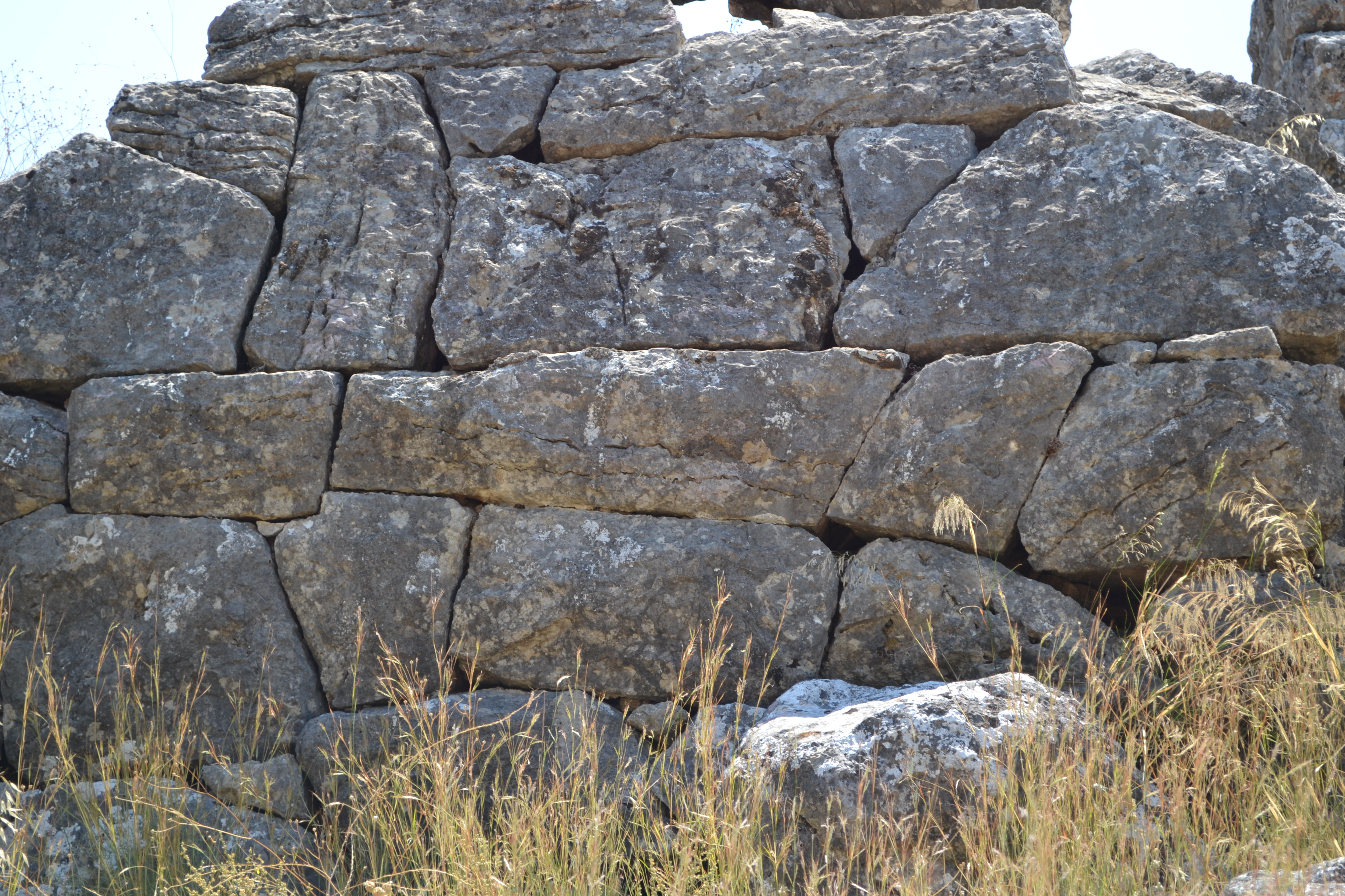
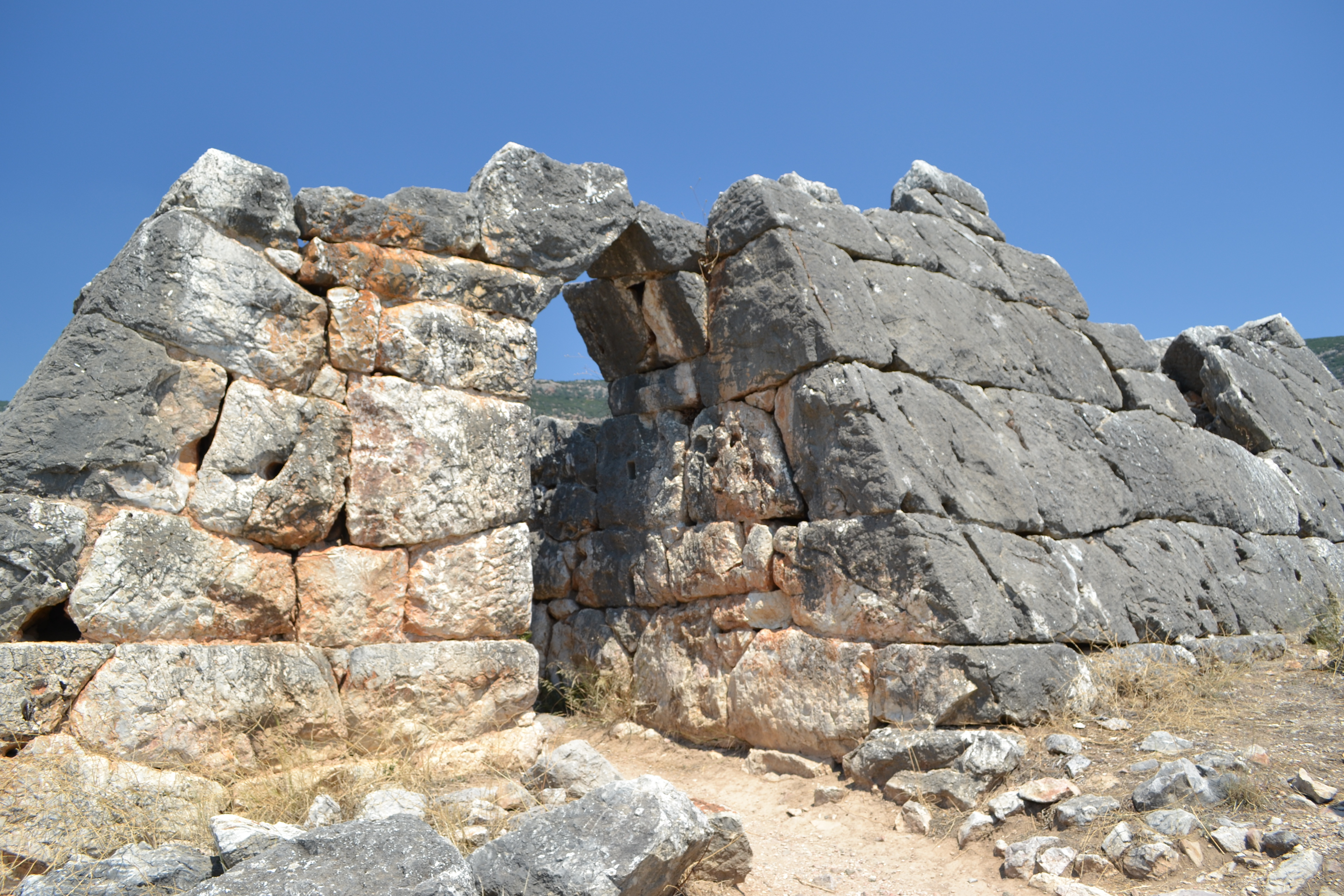
Historia IV takes a look at the main considerations, and strong archaeological evidence, for the hillfort of South Cadbury Castle, in Somerset England, as the main contender in a wide-ranging quest for the true ‘Camelot’.
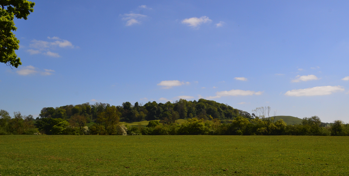
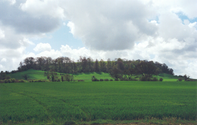
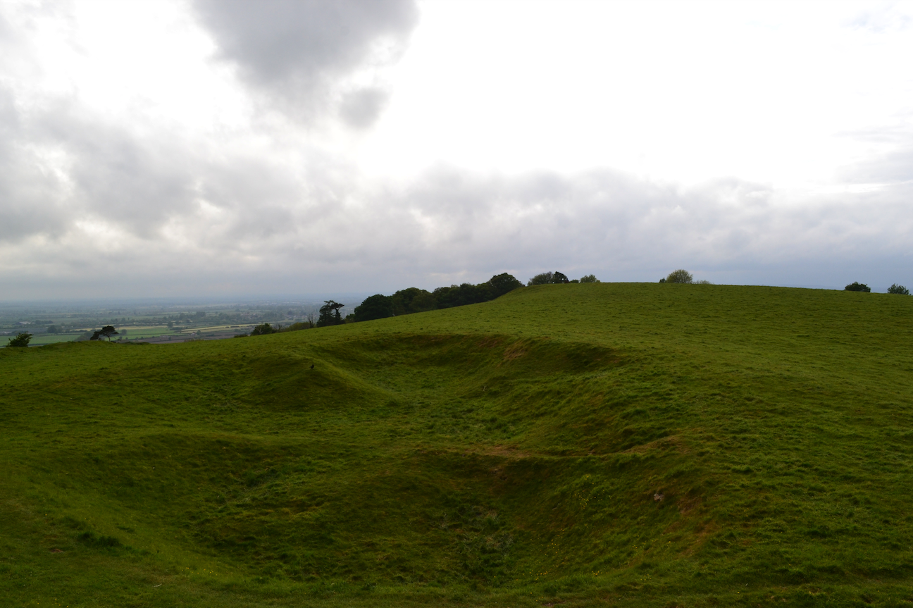
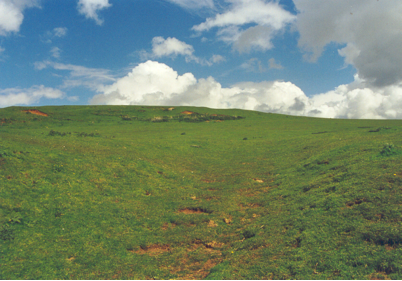
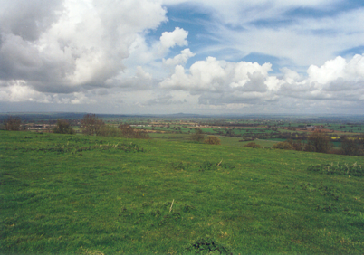
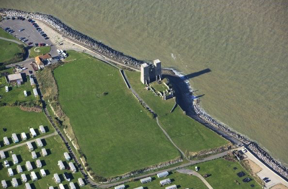
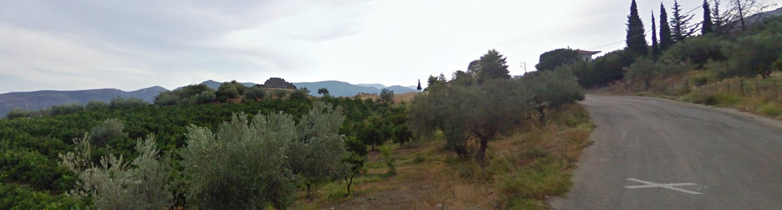
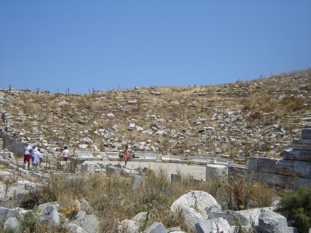
South Cadbury Castle from the North
This is a site I know well.
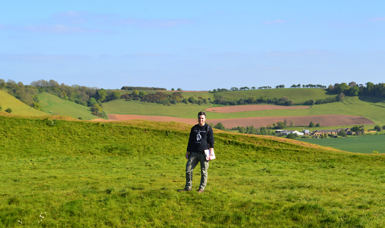
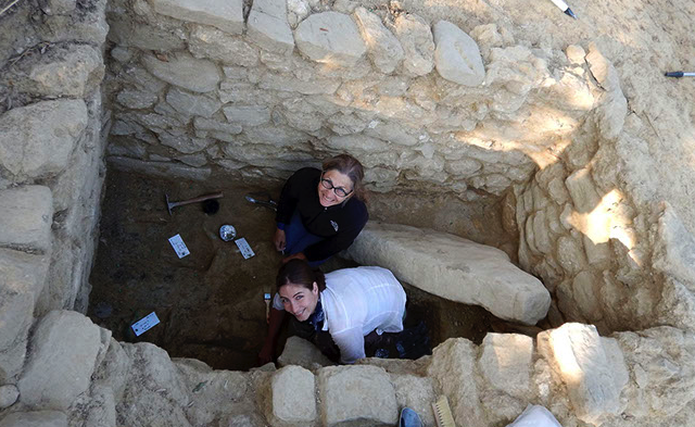
Not only did I write part of my masters dissertation on South Cadbury Castle, but I also worked as an archaeologist in the fields surrounding the site as part of the South Cadbury Environs Project team in the early 2000s.
Historia IV summarizes all that I have learned about South Cadbury Castle and its possible links to the historical ‘Arthur’.
And it does so in an easy-to-understand, accessible way.
Included in the book are a few appendices which include maps, loads of images, a video tour of South Cadbury Castle with yours truly, and an extensive bibliography that you can work your way through should you wish to do more reading.
This truly is an exciting addition to the Historia non-fiction series!
If you are on your own quest for Camelot, or if you are simply interested in the history of Dark Age Britain and the historical ‘King Arthur’, then you will want to check out Historia IV.
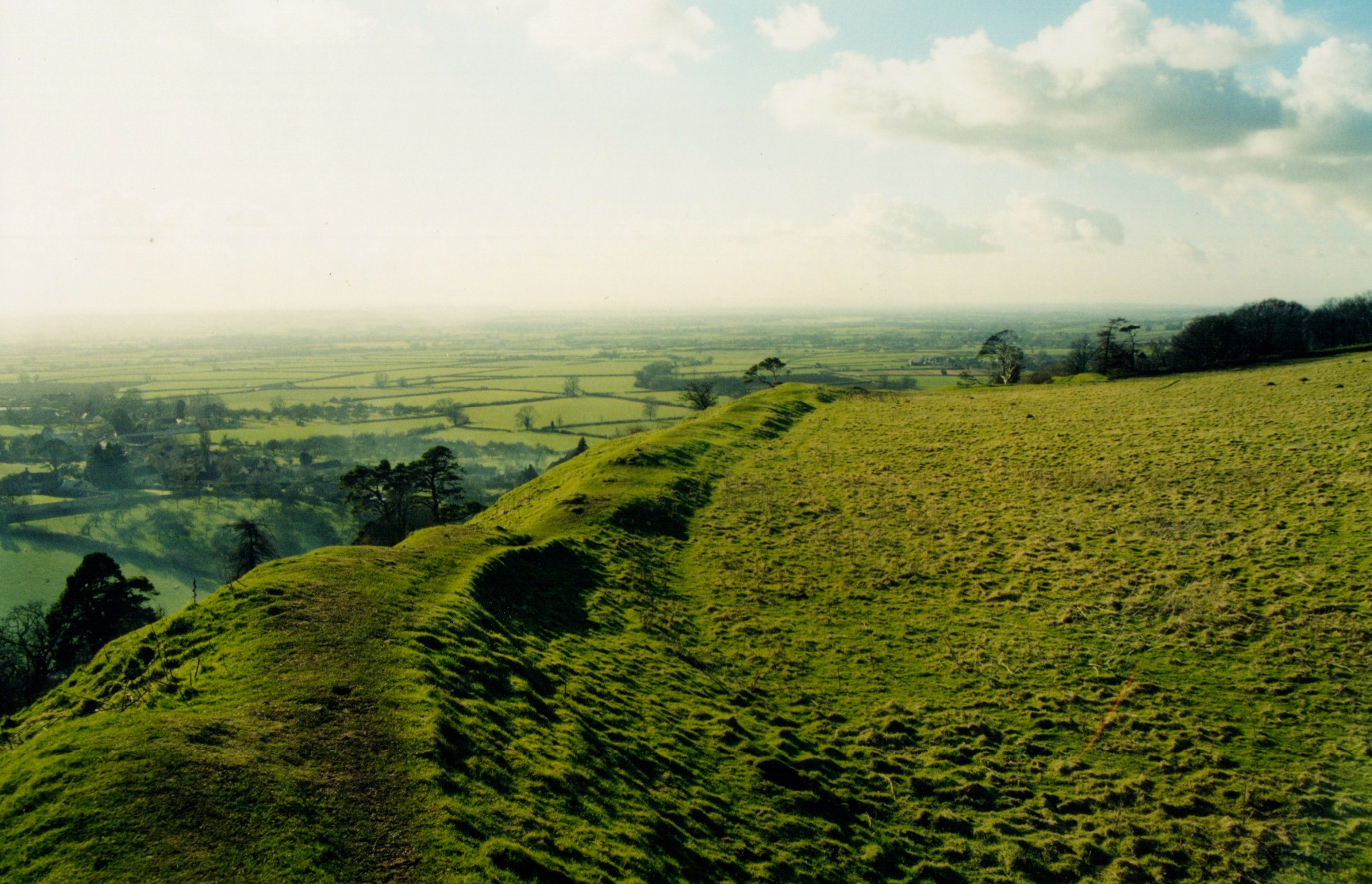
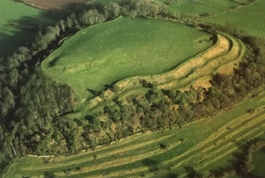
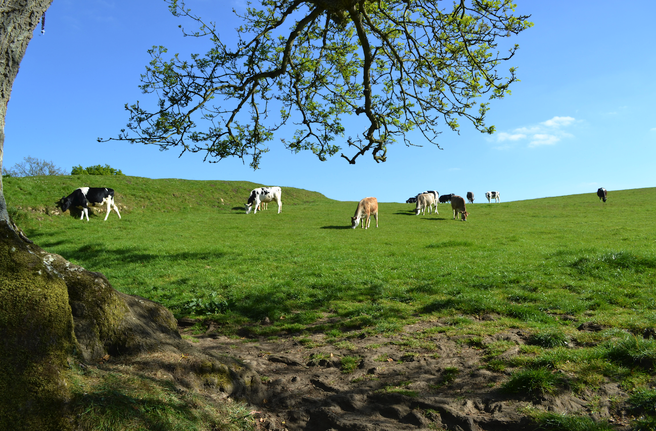
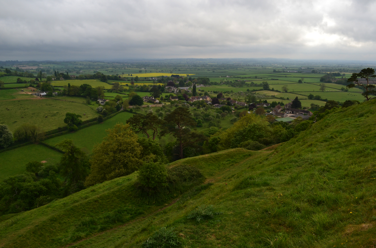
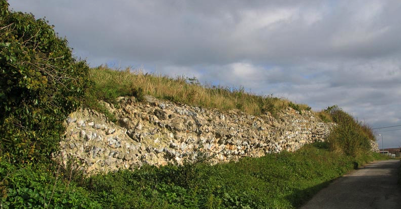
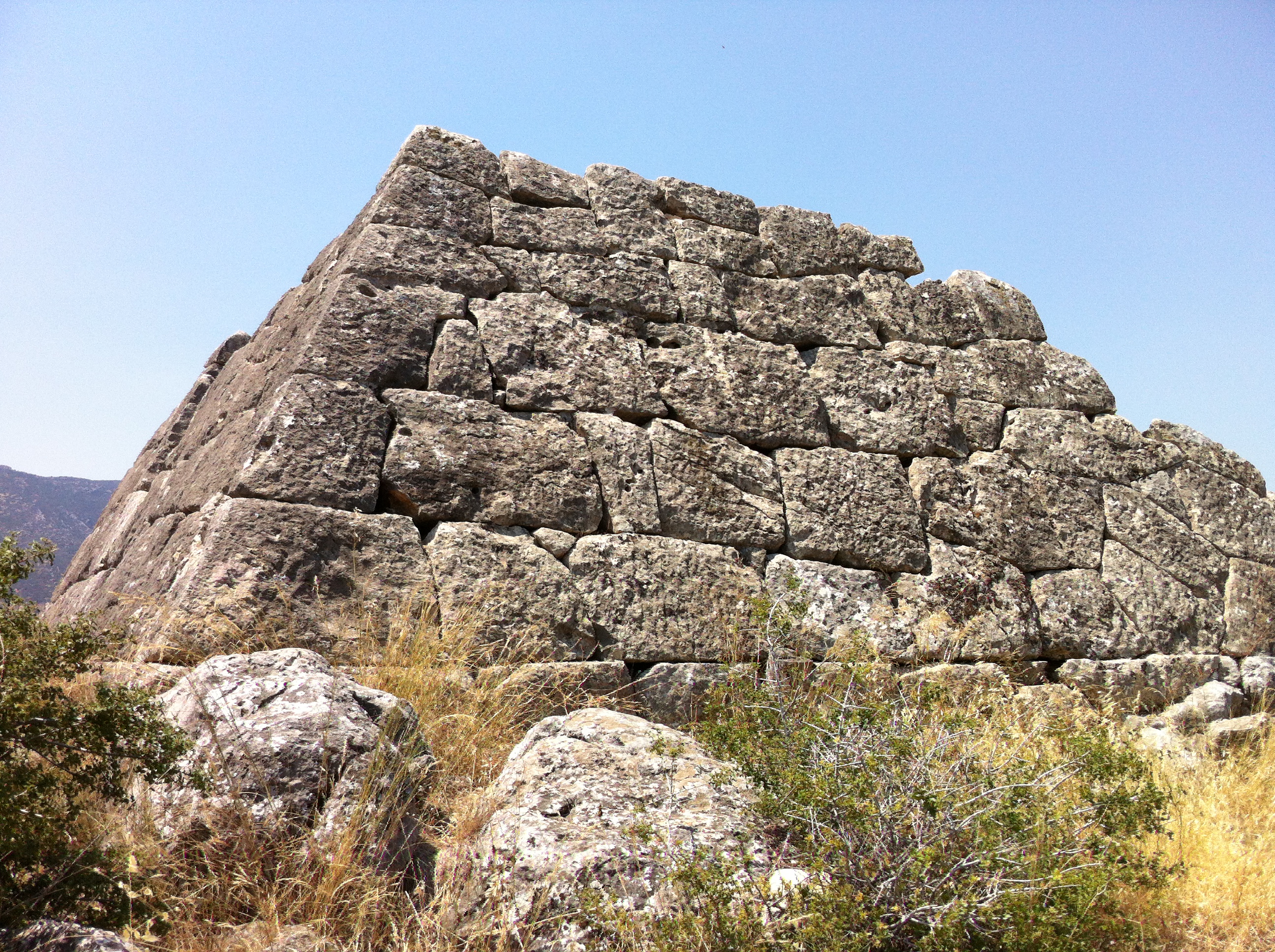
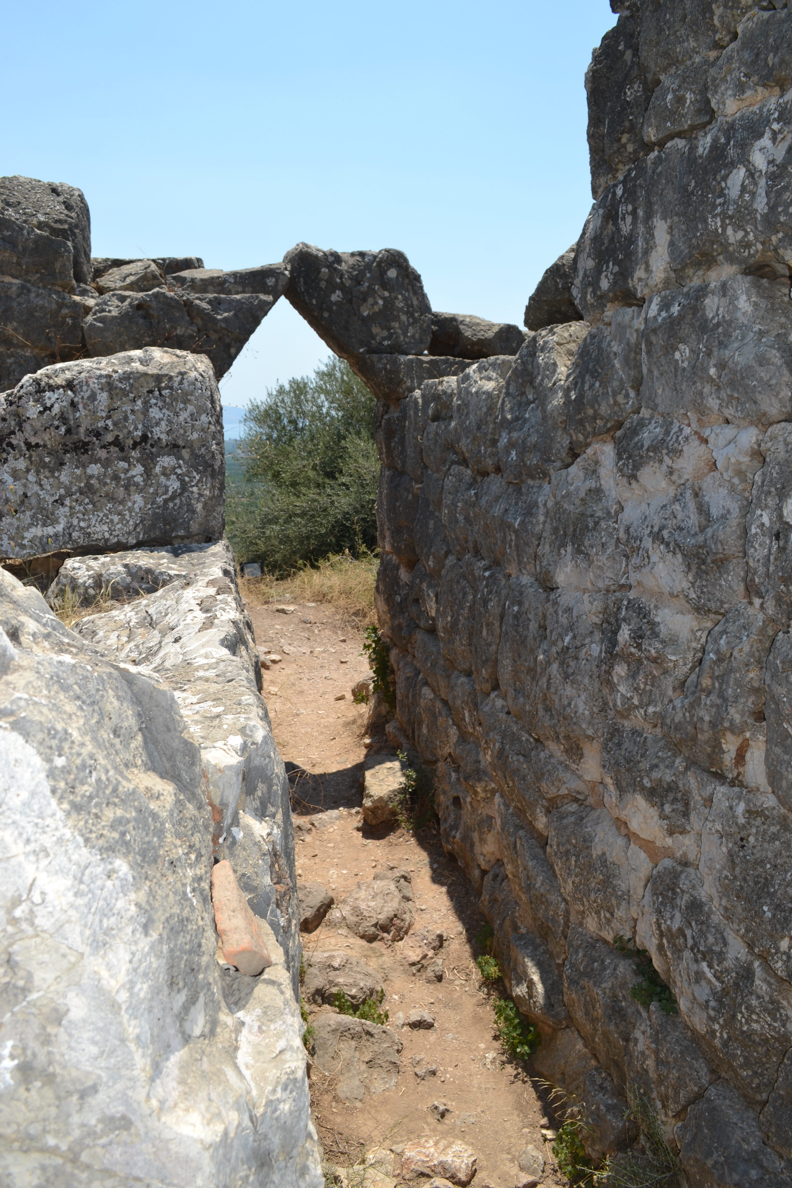
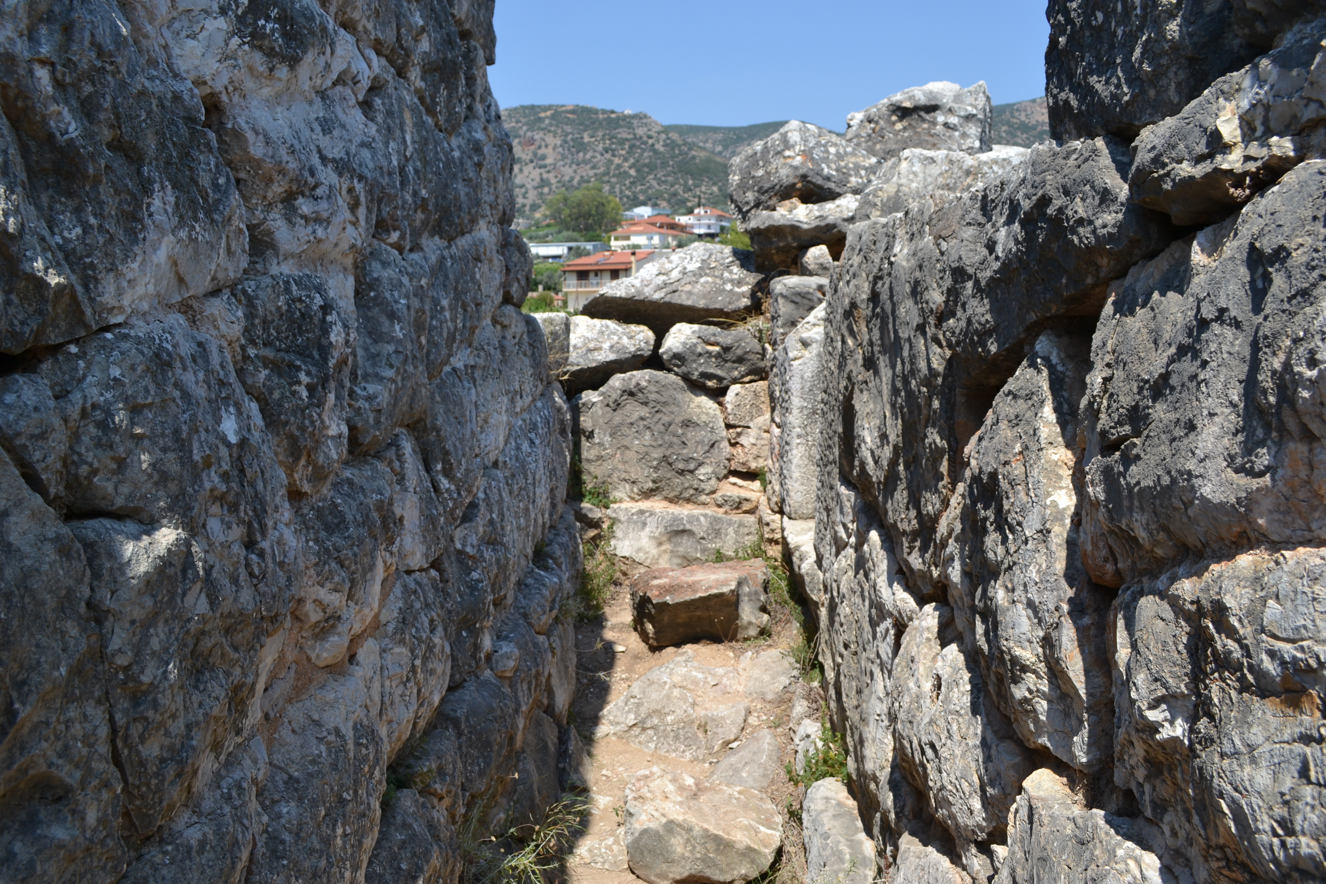
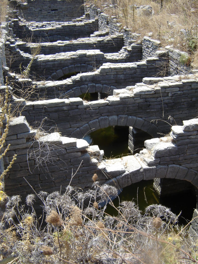
The eastern ramparts of South Cadbury Castle (photo: A. Haviaras)